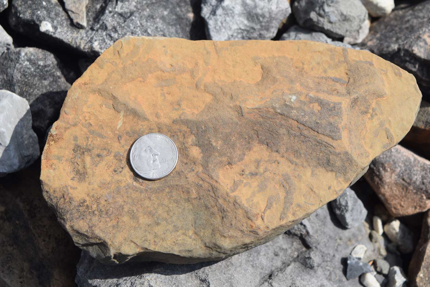
The Middle Cambrian Burgess Shale and its contained fossils are legendary to earth scientists. These fossils are by far the best record of Cambrian animal fossils. The importance of the Burgess Shale fossils is also linked to their excellent preservation. The fossils include many soft bodied animals in addition to those with hard parts – an extremely rare occurrence for fossil assemblages.
I finally hiked to the Walcott Quarry on Fossil Ridge near Field, B.C., last year, just to better understand the context of the Burgess Shale. It was well worth the effort (it is a long, and as other hikers phrased it – a gut-busting hike). Before my Walcott Quarry hike, I’d read that Kootenay National Park just started hosting hikes to Burgess Shale type faunas (BST) in the Stanley Glacier area. It only took a good dinner and a beer after the Walcott Quarry hike to decide that I’d do the Stanley Glacier Burgess Shale hike.
Stanley Glacier BST fossils (approximately 505 million years in age) are about 40 km southeast of the Field, B.C. (Yoho National Park) locales. Recent work in both the Marble Canyon and the Stanley Glacier areas of Kootenay National Park yielded noteworthy additions to understanding the BST fossils and their depositional environments. BST fossils found in the Marble Canyon area include 25 new species of organisms; 8 new species are now recorded for the Stanley Glacier BST fossils. Of more interest to me (being a sedimentologist), is that the depositional environment in the Kootenay National Park area differs from that of the Field, B.C. area. Although the Burgess Shale fossils are found within the Stephen Formation in both areas, there is a marked difference in this rock unit from one area to the other area. Around Field, B.C., the Stephen Formation is the “thick or basinal” (about 276 to 370 meters thick) Stephen and it resulted from deposition at the base of the older Cathedral Formation Escarpment (a submarine cliff) via turbidity flows. In the Stanley Glacier area, the Stephen Formation is relatively “thin” (about 33 meters thick) and is probably the result of deposition at the distal edge of a marine platform (Caron and others, 2010; Gaines, 2011). The stratigraphic placement of the Burgess Shale rock units also differs from the Field, B.C. area to the Stanley Glacier area. Based upon the presence certain trilobites and stratigraphic evidence (Caron and others, 2010), the “thin” Stephen Formation at Stanley Glacier is stratigraphically above the Field, B.C. Burgess Shale localities.
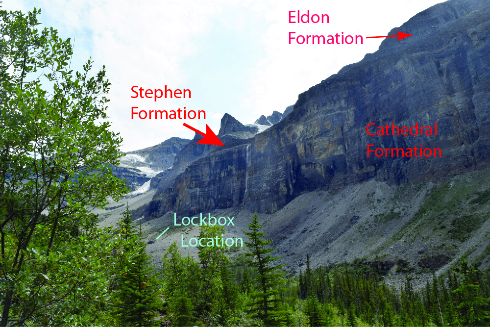
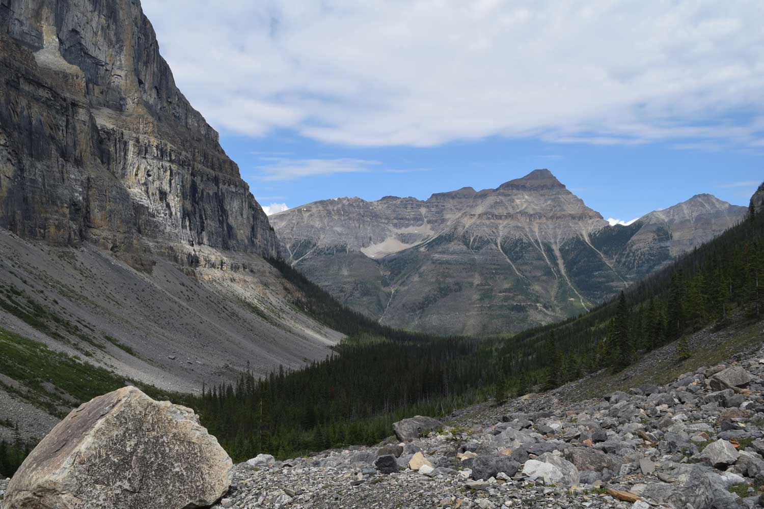
With that small bit of Burgess Shale background, I’ll get back to the actual hike up the Stanley Glacier valley to the Stephen Formation talus slopes and outcrop. The hike is hosted by Kootenay National Park and is about 10 km for the round trip. The elevation gain is about 450 meters. The first part of the hike is through glacial material and a fire-swept lodgepole pine forest. Forest fires burned through this area most recently in 1968 and in 2003. Luckily for paleontologists, the fire bared many slopes and definitely helped in locating BST fossil beds. A little more than halfway through the hike, one breaks out of the trees onto the talus slopes of Stanley Glacier’s valley. The hike continues over the talus slope to a very large boulder. Several BST fossil specimens are locked in a box kept behind this boulder. Our guide gives an informative talk about the lockbox fossils and we have much time to pick around the talus slope for more fossils.
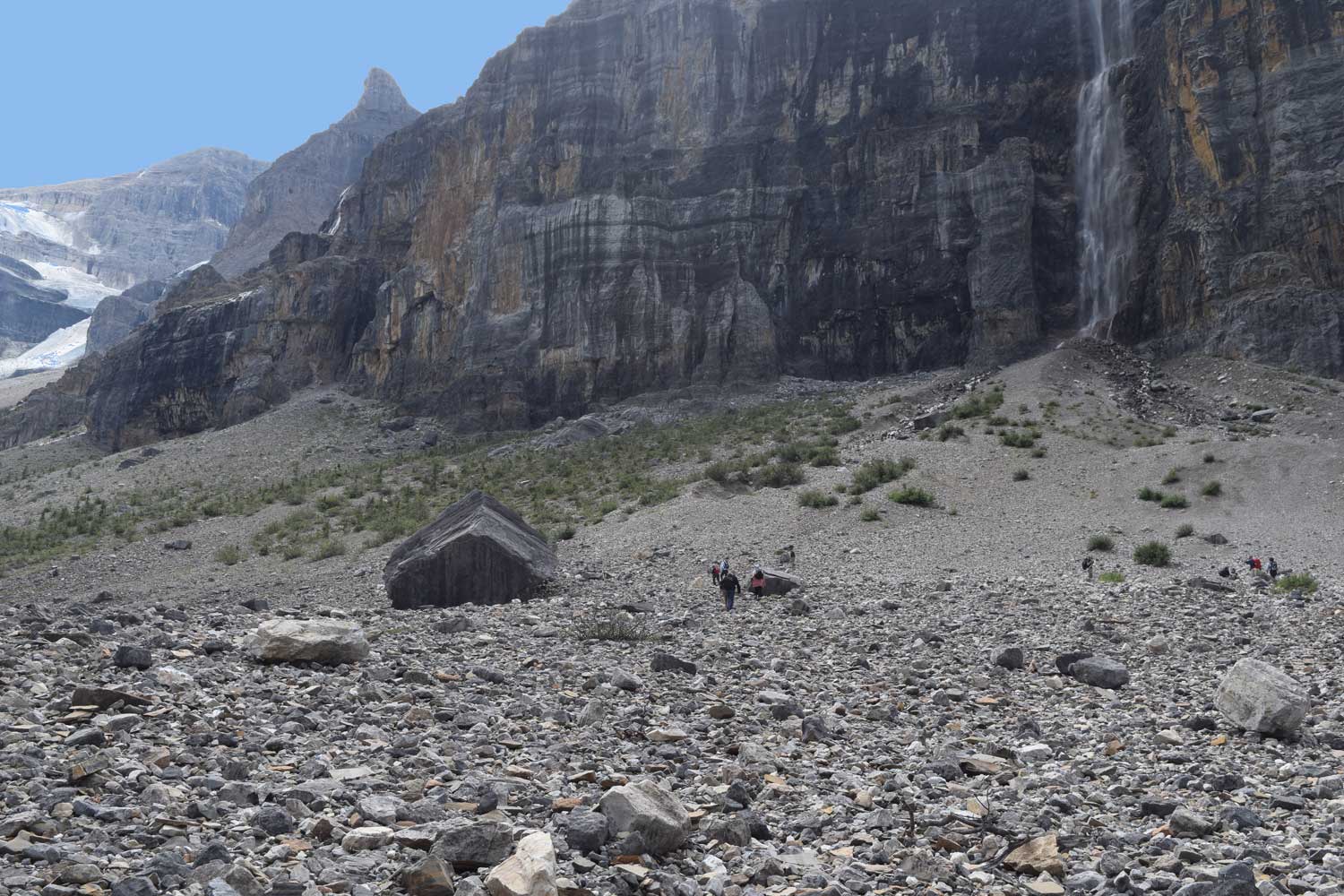
In 1989, an expedition party from the Royal Ontario Museum (ROM) located fossils from Stephen Formation talus in this area (Rigby and Collins, 2004: Sponges of the Middle Cambrian Burgess Shale and Stephen Formations, British Columbia; Royal Ontario Museum Contributions in Science 1: 1–155.). Caron and others (2010) also document that some of their fossil assemblage material came from the talus slope, so it’s worth some time to look around (Caron and others, 2010 GSA Data Repository).
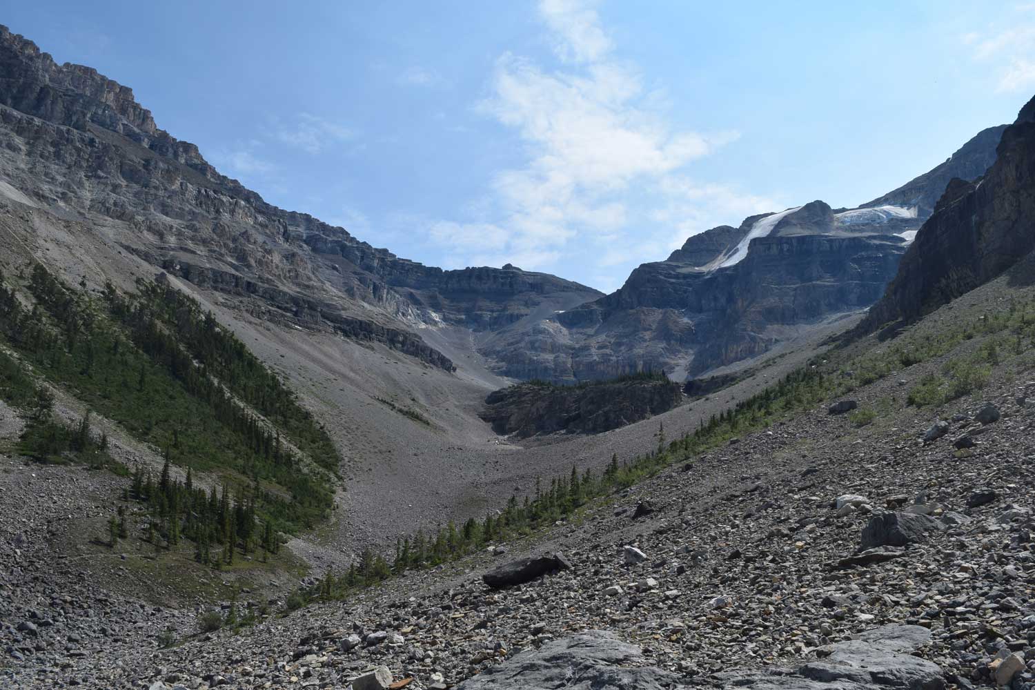
Keep in mind that this is within a Canadian National Park, so do not keep any of the fossil material. The quarry that has been worked recently in this area (the quarry was initially worked in 2008 by ROM earth scientists) is yet beyond the hike’s end point, near the southwest edge of the cirque.
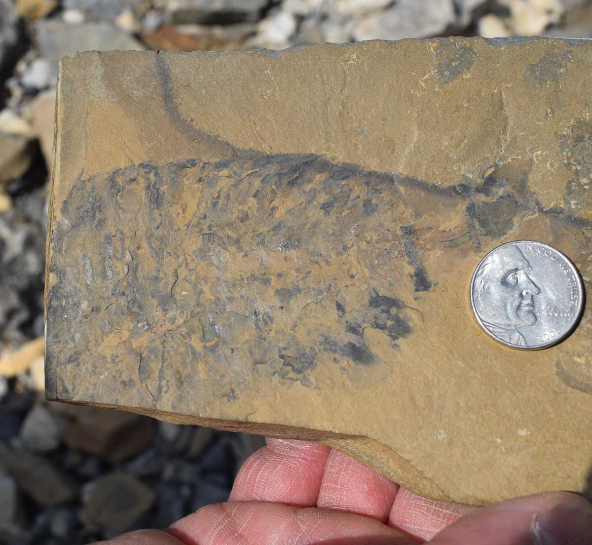
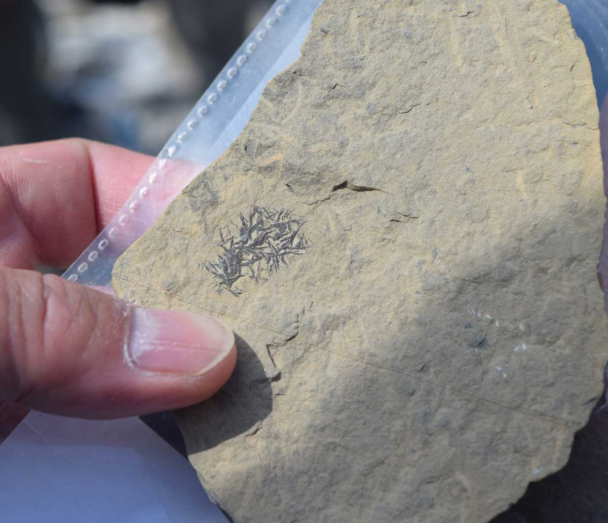
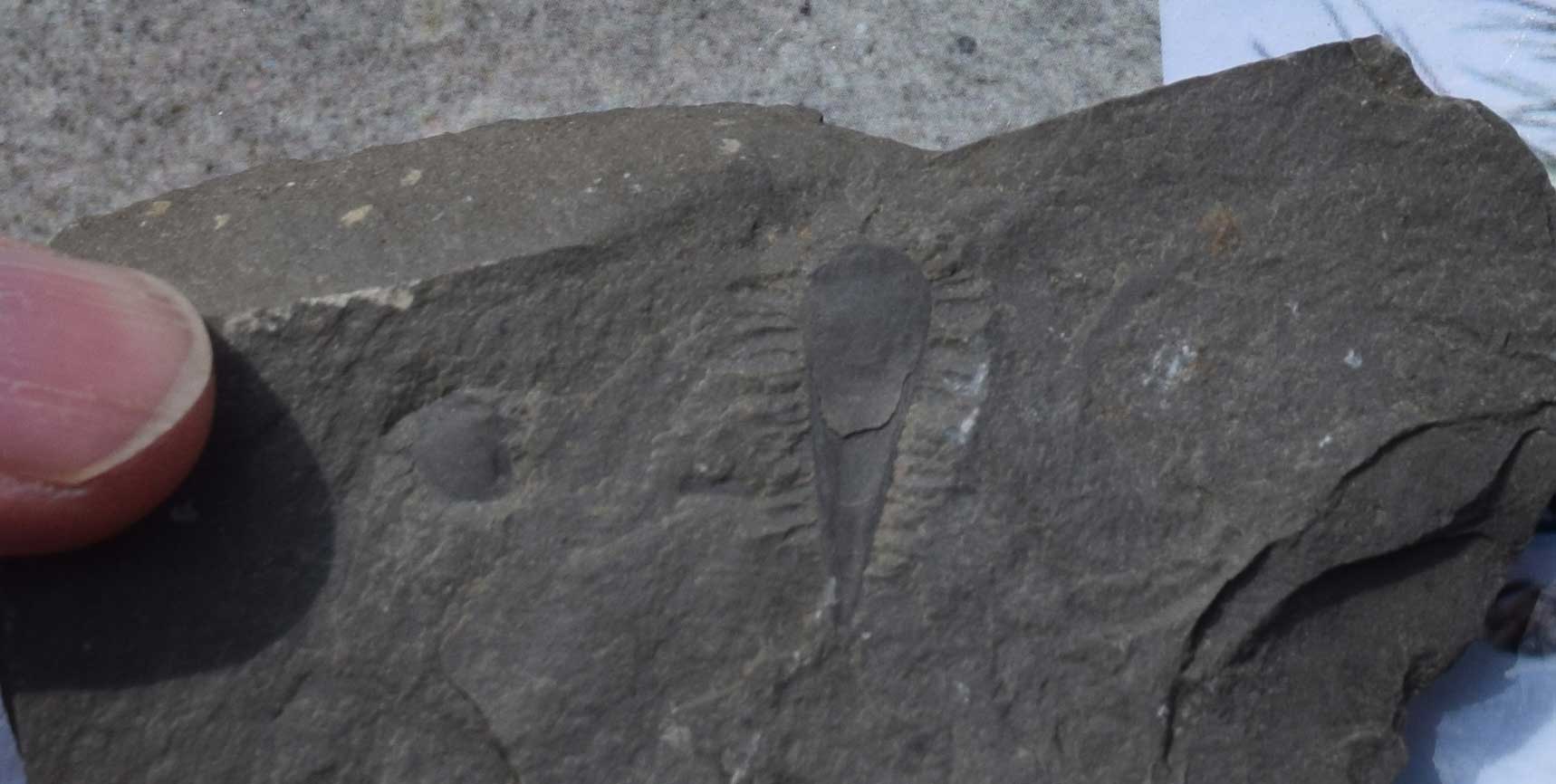
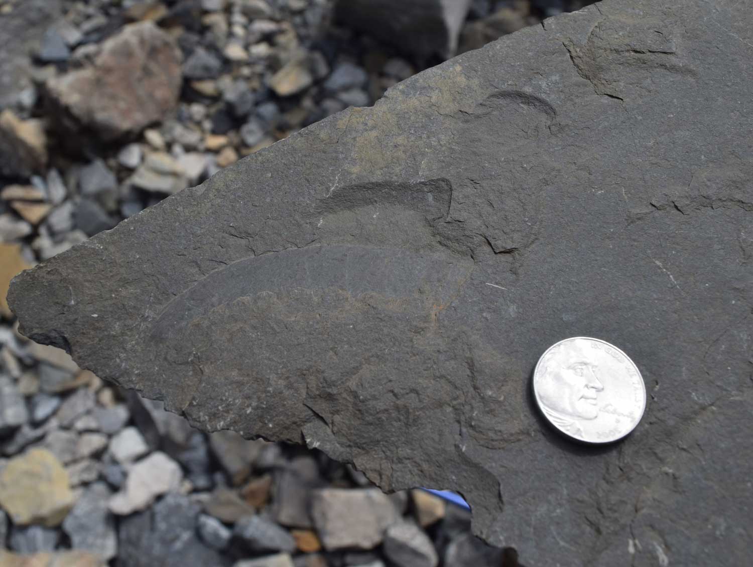
Stanley Glacier BST shelly fauna includes characteristic Cambrian taxa such as hyolithids, brachiopods, and trilobites. Soft-bodied BST creatures such as the necktobenthic or nektonic arthropods and proto-arthropods Stanleycaris hirpex n. gen., n. sp., Tuzoia retifera, and Sidneyia inexpectans also are part of the BST fauna. Trace fossils are plentiful on some bedding surfaces. These include trails, shallow burrows, and arthropod trackways.

