Traveling to Ireland has been something I’ve wanted to do. So, when the opportunity came up to go to Scotland, I couldn’t leave the general area without seeing at least some of both Northern Ireland and the Republic of Ireland. I only made it as far south as Dublin, but I guess on a positive side, that leaves many places that I need to visit on a future trip. I really wanted to go on a Cliffs of Moher Tour for example, as I’ve heard so many good things about them, but that’s one of the many things that will have to wait until next time unfortunately.
I flew from Glasgow into Dublin, rented a car, and first headed for Northern Ireland which is the subject of this blog. The causeway coastal route in Northern Ireland (from the North Channel coast eastward to the Irish Sea coastline) is a drive that I wanted to try. I ended up driving only about half of it – from Ballycastle east to Port Stewart because I spent so much time stopping to look at rocks and scenery.
The area that I drove through is a part of the Causeway coastline that cuts into the Antrim lava plateau. Beginning about 62 million years ago and continuing for several million years, extensive volcanic activity associated with the opening of the north Atlantic Ocean occurred here. In fact, igneous activity was so extensive in the nascent north Atlantic area, that the Antrim plateau basalts are only a small part of the North Atlantic Igneous Province, which is centered on Iceland. But – coming back more locally to the Antrim area, basaltic lava here intruded into Cretaceous marine strata, mainly chalk beds (which makes a striking visual contrast along the coastline). As noted on a Queen’s University Belfast website for the Giant’s Causeway:
The total area of these flows is now much reduced compared to their original extent, but they still constitute, at 3,800km2, Europe’s most extensive lava field. Traditionally the lavas of the Antrim Lava Group have been divided into three main phases of activity, separated by two extended periods of quiescence or limited, local activity.
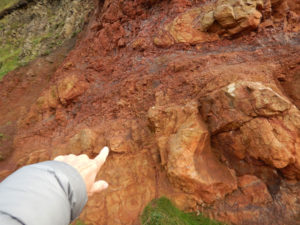
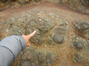
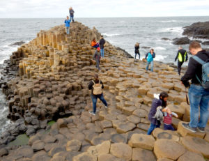
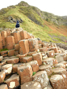
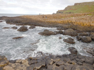
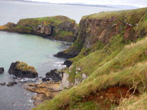
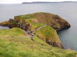
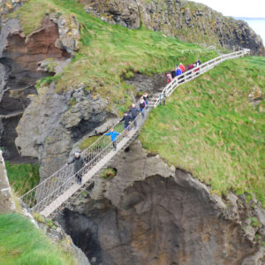
The two areas that I spent most time at during my coastal causeway drive are the Carrick-a-rede Bridge and the Giant’s Causeway. These areas are developed within the Lower and Middle Basalts of the Antrim Lava Group and contain an Inter-basaltic Bed of reddish-weathered regolith and paleosols. A photo tour of the two areas are shown below –
A rope bridge connects the mainland with Carrick-a- Rede island. The first rope bridge was built in 1755 to facilitate fishing of Atlantic salmon. The salmon fishery has since died out, but the bridge is maintained as part of National Trust lands.
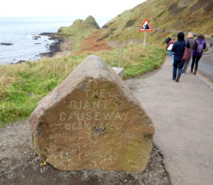
The Giant’s Causeway is a UNESCO World Heritage Site. As noted on its UNESCO website:
The Giant’s Causeway lies at the foot of the basalt cliffs along the sea coast on the edge of the Antrim plateau in Northern Ireland. It is made up of some 40,000 massive black basalt columns sticking out of the sea. The dramatic sight has inspired legends of giants striding over the sea to Scotland.
