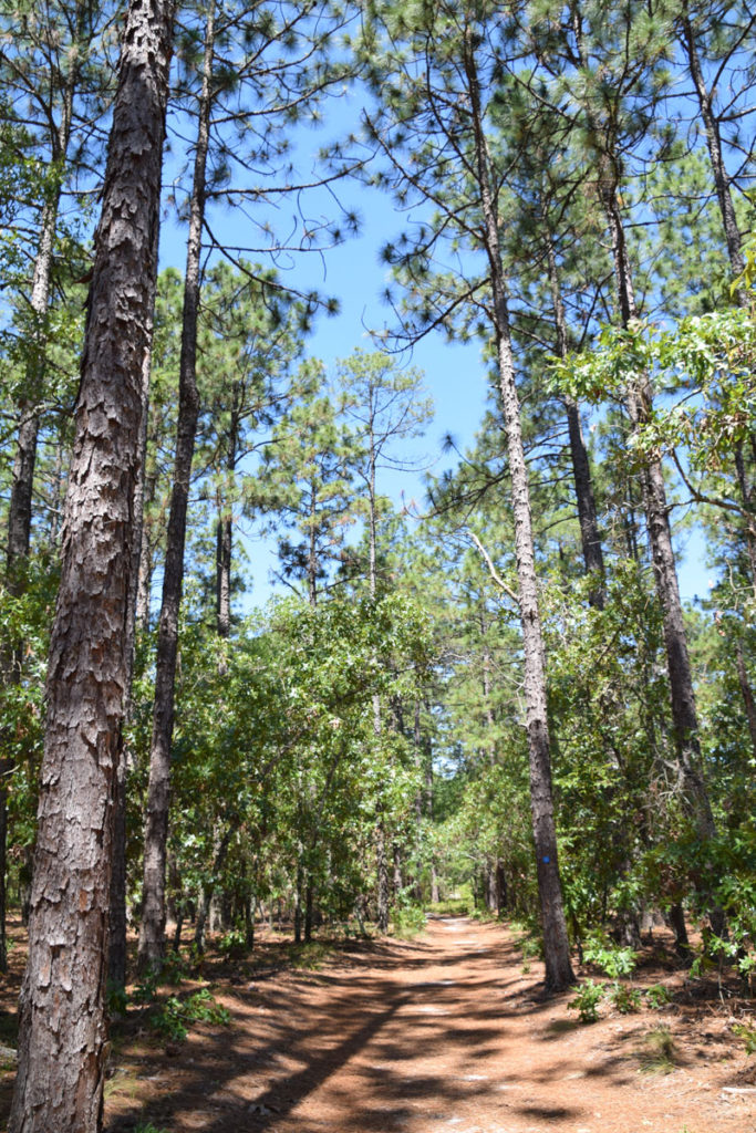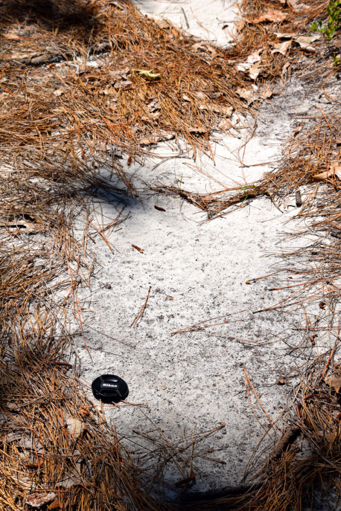
My first trek into the Carolina Sandhills began with a visit a couple days ago to Weymouth Woods Sandhills Nature Preserve in Southern Pines, North Carolina. Weymouth Woods is a great place not only to hike through part of the Sandhills, but to also see the longleaf pine forest that readily grows on the sands. The land for the preserve was donated to the North Carolina Division of Parks and Recreation in 1963 by Mrs. James Boyd. Her father bought the land in 1903 so that a part of the region’s original longleaf pine forest would survive. In fact, there are old-growth 400 to 500 year-old longleaf pines still flourishing near the Weymouth Center.

Back to Sandhills geology – the Sandhills are a Quaternary aeolian blanket of sands and dunes that cover part of the Coastal Plain of the Carolinas. That the sands exist in the Coastal Plains uplands of the Carolinas has been known for some time, but recently Moore and Brooks used LIDAR data to show an extensive Upper and Middle Coastal Plain upland aeolian landscape. Moore and Brooks describe their findings as:
“Although primarily an Upper Coastal Plain/Sandhills phenomena, these large-scale eolian features are also present in parts of the dissected uplands in the Middle Coastal Plain immediately east of the Orangeburg Scarp in South Carolina and in the Middle Coastal Plain portions of North Carolina. While the timing is likely related to riverine source-bordering eolian dunes, the sand source for many of these upland eolian deposits appears to be derived from upland incisement and erosion by primarily 1st order streams. In fact, many sources appear to originate from the incised borders of broad dissected coastal uplands with numerous small feeder streams and streamhead sources. In other words, the downcutting and incisement events appear correlated with dune and eolian sand-sheet formation in the uplands where extensive erosion would have provided a plentiful sand source for remobilization as eolian dunes. Although the timing of upland incisement is not clear, it likely occurred most recently during or sometime just after the last glacial maximum when large river systems in the Southeast were transitioning from braided to meandering and incised fluvial systems.”

