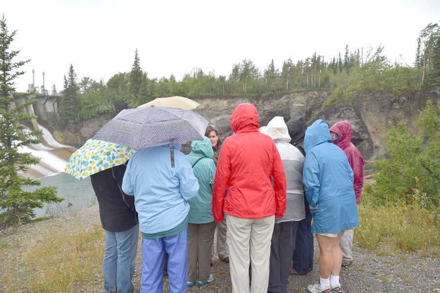
The first full day of the AWG Canadian Rockies Field Trip opened to pouring rain by the time we reached the Canmore, Alberta area – about 66 miles west of Calgary. So no grand views of the impending Front Ranges or sights of Triangle Zone structure. Once in a while during lunch we could vaguely see the break in slope that marks the McConnell Thrust at Mount Yamnuska. But even in the downpour, our intrepid leader Katherine Boggs got us out of the vehicles to look at and talk about the Kananaskis Dam and its geology.

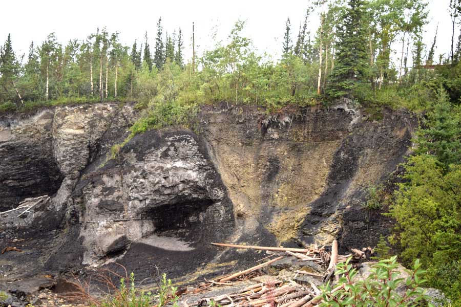
The Upper Cretaceous Cardium Formation is the bedrock at the dam. Extensional faulting – late Cretaceous/Paleocene in age and expressed as a series of grabens and horsts – cuts the Cardium at the dam site. I took a long look at those structures knowing that that’s probably the last I’ll see of extensional faulting for awhile.

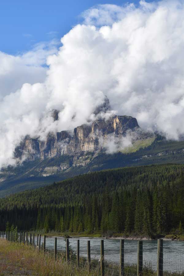
The downpour started to break a few miles east of Lake Louise. It was really spectacular to see the clouds begin to part around Castle Mountain. The Castle Mountain Thrust is at the base of the mountain and it delineates the boundary between the Front Ranges and the Eastern Main Ranges. Flat-lying Cambrian carbonates comprise Castle Mountain as opposed to generally west-dipping Devonian/Mississippian carbonates of the Front Ranges The weather forecast sounds better for tomorrow… we’ll see. Tomorrow brings hikes around the Lake Louise-Moraine Lake areas, so some clear skies would be welcome.

