Spending time in Puerto Rico is a fantastic experience. The beaches are wonderful, the rain forest of El Yunque National Forest is unique in the U.S. Forest Service’s holdings, the bio-bays are enchanting, and of course there are intriguing rocks that underlie all these natural wonders.
Geologic Setting
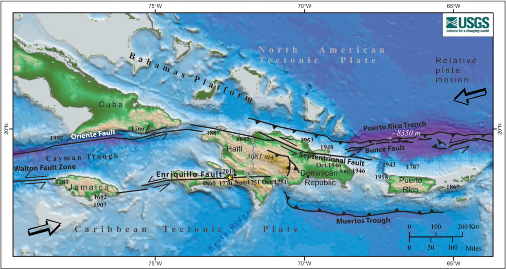
Puerto Rico is the eastern-most island of the Greater Antilles, which is a group of islands in the Caribbean Sea that includes the countries of Cuba, Hispaniola (Haiti and the Dominican Republic), Jamaica, and the U.S. territory – the Commonwealth of Puerto Rico. Puerto Rico (and its outlying islands of Culebra and Vieques), along with the U.S and British Virgin Islands are the subaerial form of a microplate that exists at a seismically active plate boundary between the North American plate and the northeast margin of the Caribbean plate. Because of the tectonically-active location, this area has experienced large magnitude earthquakes and destructive tsunamis.
The rock record of Puerto Rico covers about 150 million years and contains rocks of a volcanic island-arc terrane. As noted in the U.S Geological Survey Open-File Report 98-
38 on Puerto Rico’s Geology, Geochemistry, Geophysics, Mineral Occurrences:
The island consists of volcaniclastic and epiclastic rocks of volcanic origin as well as other sedimentary rocks of Late Jurassic to Paleocene and Eocene age and intrusive mafic and felsic plutonic rocks of Late Cretaceous and early Tertiary age. These rocks are overlain unconformably by Oligocene and younger sedimentary rocks and sediments.
Touring Puerto Rico’s North-Northeast Area
I flew into San Juan, but as soon as I picked up a rental car, I headed to the beaches in the Piñones area. This area is about 10 miles east of San Juan, located along Route 187, which skirts Puerto Rico’s north coast, linking San Juan and Loíza. Route 187 is a scenic drive and there are many places to pull off the road and enjoy the beaches. The beaches of Pinoñes fringe a mangrove forest and large sand dunes. The beach areas are further enhanced by eolianites and beachrock creating a relatively continuous barrier that protects the shore and make for a relaxing swim.
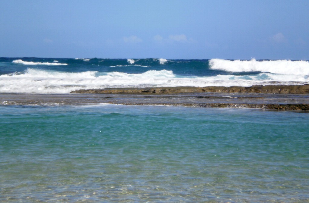
Further east along Puerto Rico’s northern coast, the beaches of the Luquillo area provide better access to some surf. La Pared, the Wall, is one of these surf beaches and is located nearest to downtown Luquillo. Its western end is a narrow stretch of sand shaded by palm trees where there is easy access to set up beach chairs and enjoy life. East from here, the surf increases and this is where most surfing action occurs.
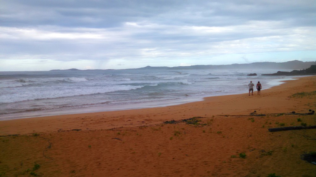
El Yunque
The El Yunque National Forest is the only tropical rain forest in the U.S. National Forest system. Although it is one of the smallest of the national forests (approximately 28,000 acres), its biological diversity is immense. The US Forest Service provides an excellent description of El Yunque:
The rugged Luquillo Mountains that rise to 3,533 ft. above sea level comprise most of the forest land. Their steep slopes can sometimes receive rainfall of over 200 inches (508 centimeters) per year at higher elevations. Caressed by gentle easterly winds the forest has an average temperature of 73° F (21° C), and seasonal changes are almost imperceptible. It is the ideal climate for exuberant tropical vegetation. The rain forest is noted for its biodiversity; it is “home” to thousands of native plants including 150 fern species, 240 tree species (88 of these are endemic or rare and 23 are exclusively found in this forest). The El Yunque National Forest has no large wildlife species, but hundreds of smaller animals abound in this gentle forest, many of which exist nowhere else on the planet.
Driving south on Highway 191 from Palmer into El Yunque, there is a progression in forest types as elevation increases. Forest growth changes from Tabonuco (tall trees and low light intensities at ground level), to Palo Colorado (upland swamp of short-statured trees with shallow root systems), to Sierra Palm Forest (overall smaller vegetation of the two previous forest types found on steep slopes, unstable soils and streambeds). There is one
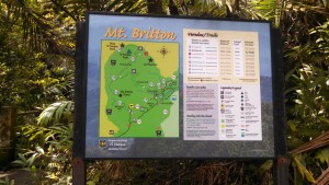
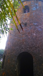
last forest type – the cloud forest (upper edges of the Palo Colorado and Sierra Palm Forest types with water-saturated soils), but to see this, you need to hike. A good hike to get to the cloud forest is to do the climb to the Mt. Britton Tower. The trail takes off from Highway 191, but you have to walk up the road from the last parking area to get to the trail head. It’s a 0.8 mile, one-way hike and climbs 594 feet in this short distance. The trail head is well signed and the trail is paved and maintained.
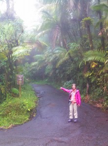
Highway 191 winds its way through El Yunque National Forest within the Cretaceous Tabonuco Formation. The Tabonuco Formation is marine in origin and contains andesitic
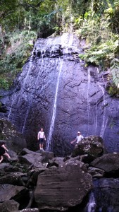
to basaltic volcaniclastic sandstone, mudstone, volcanic breccia, and conglomerate. One of the best places in El Yunque to see the Tabonuco Formation is at La Coca Falls. La Coca Falls is easily accessible and is one of the first spectacular features to be seen along Highway 191 as one travels up into the forest.
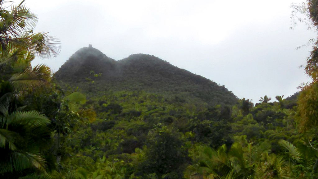
About 0.5 miles north of Mt. Britton lies El Yunque, a towering peak that has been iconic in Puerto Rican history since pre-Columbian times. El Yunque (Spanish for anvil) is 3,412 feet high, breaking through the old growth forest where it is covered by clouds. The topographic prominence of El Yunque has recently caught the attention of geologists who wondered why the peak is not covered with vegetation and eroding rapidly given the area’s humid tropical climate. Their research indicates that El Yunque is part of an ancient supervolcano named Hato Puerco that was active about 145-66 million years ago. The hardness and chemical properties of the rocks that form El Yunque and deter rapid erosion came from being cooked in the chamber of the supervolcano.
Puerto Mosquito and the Bio-Bay of Vieques
The island of Vieques lies about 8 miles east of Puerto Rico. Vieques is an island
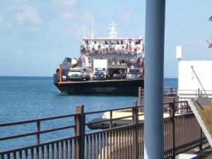
municipality of Puerto Rico and was home to a major naval base until 2003. Consequently, much of the island escaped intense development. The easiest way to get to Vieques is on the ferry that leaves from the town of Fajardo. The ferry trip is probably usually uneventful, but on the way back from Vieques to Farardo, there was a multiple vehicle smash-up during loading time. Just a couple hour delay, which wasn’t too bad, considering all the damage.
Of particular interest to me was the bio-luminescent bay, Puerto Mosquito, found in the southern part of the island and considered to be the largest and brightest of Puerto Rico’s bio-bays. The luminescence in the bay is caused by a dinoflagellate, Pyrodinium
bahamense, which glows whenever the water is disturbed, leaving a trail of light. A combination of factors results in ideal conditions for the growth of Pyrodinium bahamense and hence the bioluminescent bay. These factors include red mangroves that surround the bay adding vitamin B-rich bacteria to the water, the restricted outlet to the Caribbean, the shallow water depth, water temperature and salinity, and little variation in atmospheric conditions. All this combines to give an amazing light show!
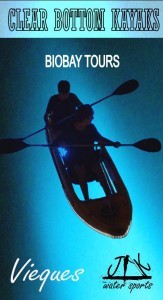
I kayaked Mosquito Bay with one of the local tour companies, JAK Water Sports. My kayak had a clear bottom which really enhanced the streaming of the bio luminescence, you can get great Kayaks from places like ORU KAYAK (www.orukayak.com) if you were also interested in participating in this activity. I also did the tour during the dark of the moon – another plus for maximum viewing and definitely a bucket-list event. I just love water sports, and I am slowly making my way through my bucket-list of different activities. I am going to travel to Portugal soon and I am looking into Kite Control Portugal as it looks like so much fun and definitely something new to learn.
And of course the beaches of Vieques are excellent. I stayed in Esperanza, on the south side of the island. Even within walking distance, there is no lack of desirable beach. The nearby beach locally known as Coconut Beach
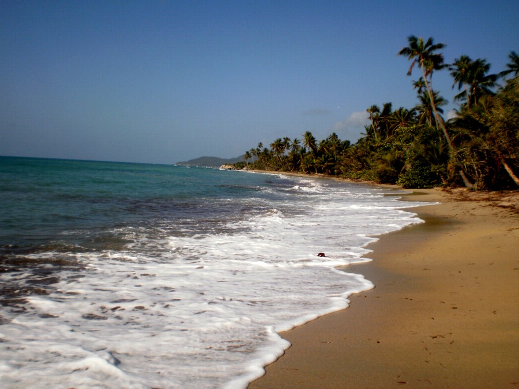
even had rock exposed. The exposed rock is a Cretaceous granodiorite that is, needless to say, extensively weathered.
