Siccar Point is unquestionably one of the most important geological sites in the understanding of geological time. It was here in 1778 that James Hutton, John Playfair, and James Hall contemplated the immensity of time needed to produce vertically oriented rocks overlain by gently-dipping rocks. The concept of geological time is so fundamental to the science of geology that I really wanted to explore the locality that gave rise to the idea of geological time. So I finally made the trip to Scotland and Siccar Point a couple weeks ago. Wow – what an amazing country! It was a fantastic trip, but for this blog, I’ll just post a few photos of Siccar Point – just enough, perhaps, to encourage geologic time enthusiasts to also make the trip.
Siccar Point is located on Scotland’s Berwickshire coast, about 40 km southeast of Edinburgh. It is not difficult to get there from Edinburgh for a beautiful day in any walking holidays in Scotland if you’re willing to drive a few back roads, and also drive on the left side of the road – which for me was somewhat of an initial challenge (going left on the roundabouts was mind boggling to begin with!). The best directions that I found for getting to Siccar Point are given by Angus Miller, who also runs field trips there. Angus’s directions to Siccar Point and his contact information are found at his Geowalks website.
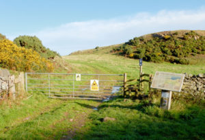
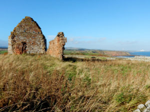
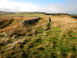
The pull-off for the hike to Siccar Point is well marked by signage. All that one needs to do is walk through the gate and then follow the fence lines south to the Siccar Point locality. There is a small sign on the entrance gate that advises you to beware of the bull. We happened to meet up with a local person while we were hiking through the fields to Siccar Point and she told us that the land owner posted the sign mainly because he’s at war with the hordes of people that tromp through his fields to get to Siccar Point (in Scotland there is the “right to roam”, so one can hike across private property). She also assured us that at the time we were there, the cows were off in another field, so not to worry about the bull. We then just followed the hiking instructions on the sign at the gate entrance, and found that it’s an easy walk to Siccar Point.
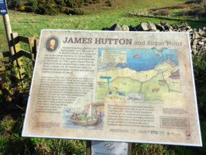
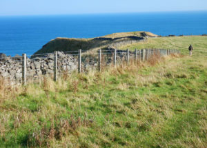
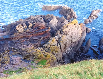
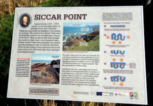
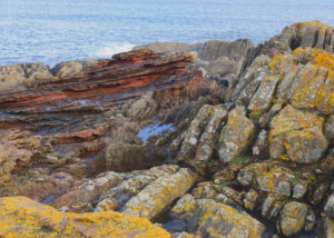
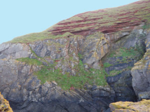
Once one arrives at the rock promontory that is Siccar Point, it is an amazing view looking down the cliff face. The vertical beds of Silurian graywacke outcrop beautifully below Devonian Old Red Sandstone. The “Hutton Unconformity” here marks an approximately 80 million year hiatus. Again, there is also good signage present at the promontory for an explanation of the unconformity.
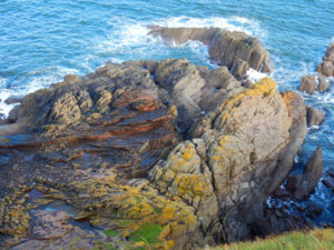
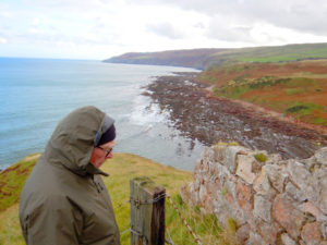
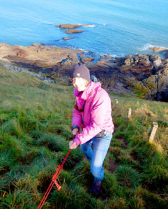
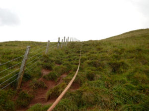
A rope is attached to the fence at the promontory to help the climber down the cliff face. As it was a muddy and slick climb down to the North Sea, I was very glad to use the rope! Much thanks to whoever put the rope there!
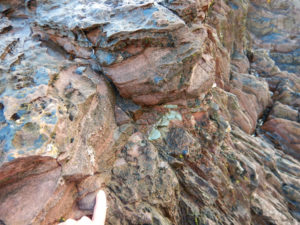
It was fun to investigate the unconformity at the sea’s edge. The base of the Old Red Sandstone contained lags from the graywacke, some of which are cobble size.
I know that we were very lucky to have good weather for our Siccar Point excursion, but I would have gone there whatever the weather. It is really one of the great geologic sites and well worth traveling part way around the world to see. For a drone view of Siccar Point, take a look at the video done by the British Geological Survey which is posted in an earlier Geopostings blog: Siccar Point from a drone’s view.
