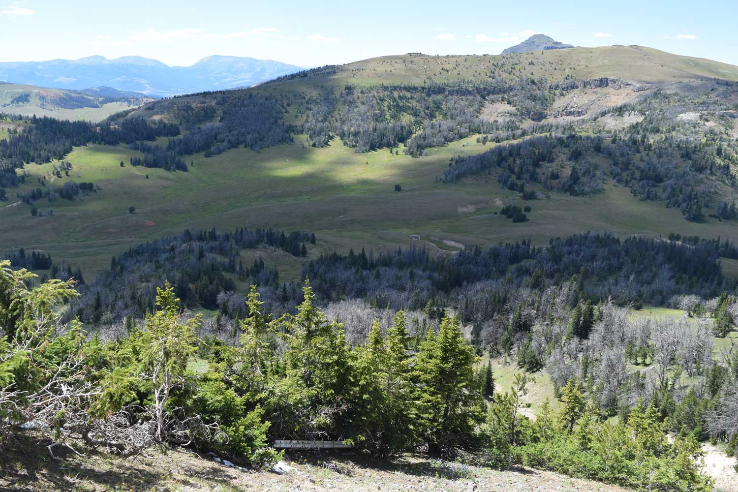
The Gravelly Range is located in southwest Montana, about 10 miles southwest of Ennis, Montana. Much of the range is covered by the Beaverhead-Deerlodge National Forest. The Axolotl Lakes Wilderness Study Area, managed by the Bureau of Land Management, is in the northern part of the Gravelly Range.
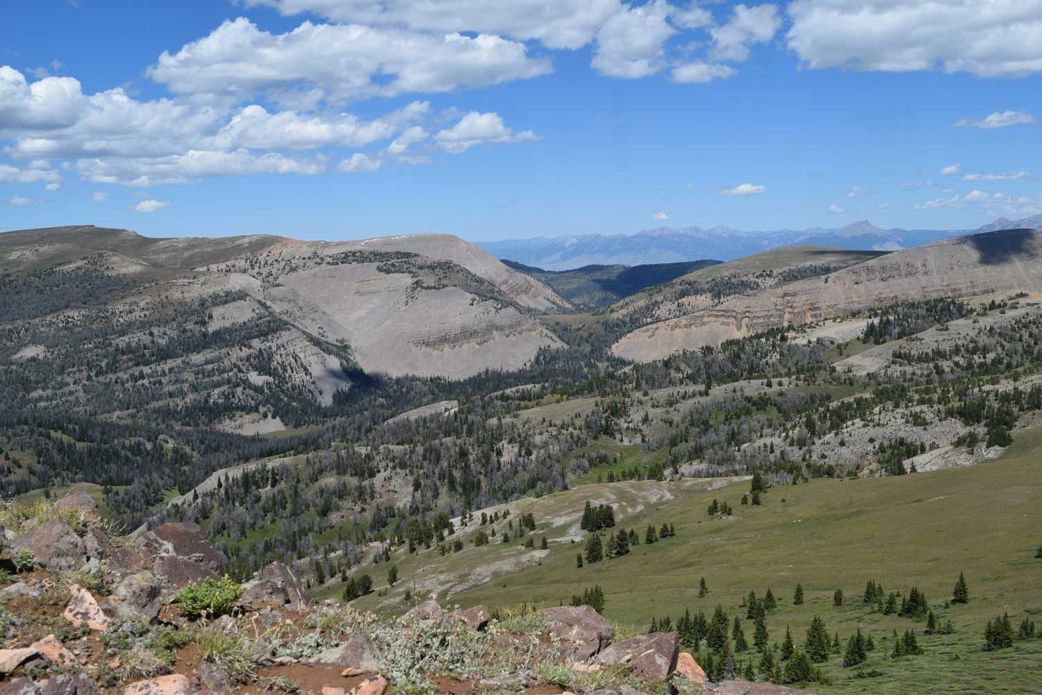
Our field group was interested in looking at Tertiary rocks, so we headed for the Black Butte – Lion Mountain area, the more south-central part of the range. A cold front had just swept through western Montana a few days prior to my field trip. That storm left some snow up on the range crest – yep, that’s right, snow in July. But it did melt off fast and it left vegetation along the Gravelly Range road (the main road that stretches along much of the top of the range’s extent) extremely lush. So it was a gorgeous drive from the Lyon Bridge crossing on the Madison River up to Lion Mountain and Black Butte. And as Black Butte is the highest peak in the Gravelly Range at 10,542 feet in elevation, it was not difficult to find our destination.
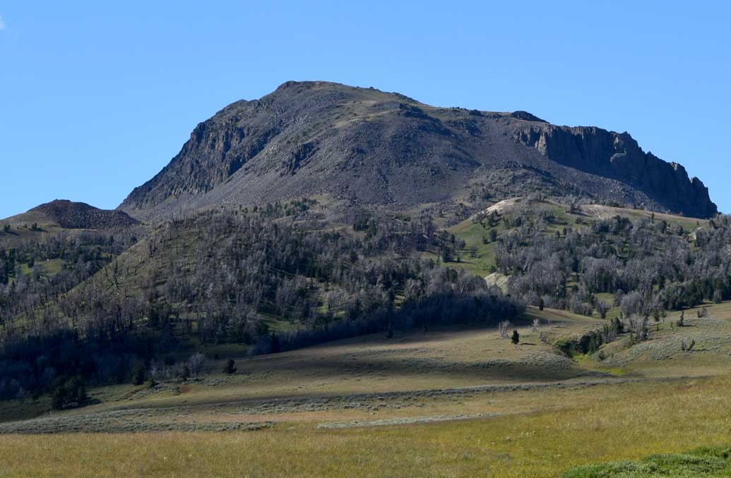
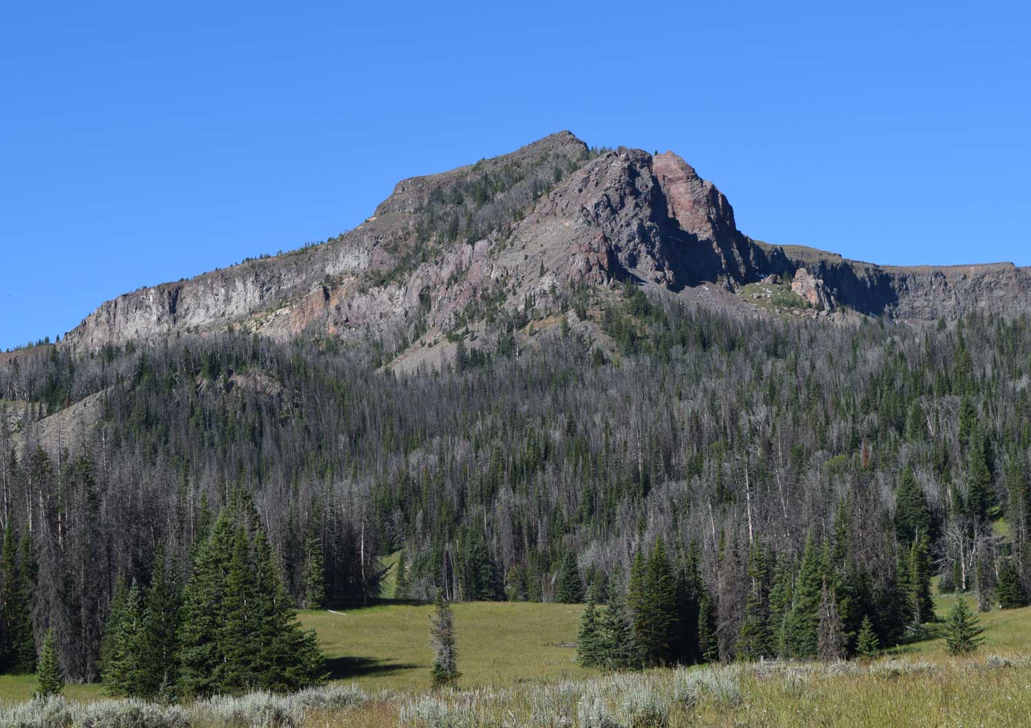
The Tertiary rocks of interest to us were primarily the Tertiary strata exposed on the west side of Lion Mountain. Fossil fauna from these strata have a North American Land Mammal Age of Whitneyan, and are approximately 29 to 32 million years in age. Carnivore, rodent, insectivore, and rabbit are some of the fauna of the fossil assemblage collected here by past workers.
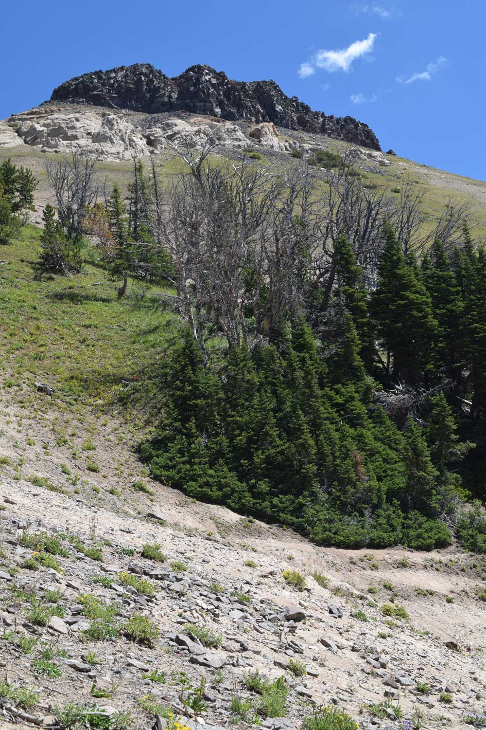
It was a good workout to reach the top of Lion Mountain, but really was well worth the effort. The Tertiary strata had plenty of features to keep a sedimentologist like myself busy. And the views – just spectacular! To top off the trip – it was obvious that someone had been there before us because we found an aluminum ladder stashed is the trees near the top of the Tertiary exposures. None of us availed ourselves of its use, but maybe next time it will come in handy!
